WANTED
Can you help
Woolston, Martinscroft, Paddington and Bruche have very few photos of its past. If you know of anyone who has any photos that we can borrow and scan in we would be very grateful. Could you email us on the following address newcuthandetrailgroup@gmail.com
We would like to thank the many people who have kindly agreed to us using their amazing photos James Stubbings, Sybil Hogg, Mike Kenwright, Len England, Mary King Wallace, David Slater, Keith Bramham, Len Whittle, Linda Thompson, Marianne Pittenway, Dave Jones, Les Hogg, Donna Muncaster, David Buckles, Nick McCarthy, Dave Slater, Jim Hunter and Jann Gregson
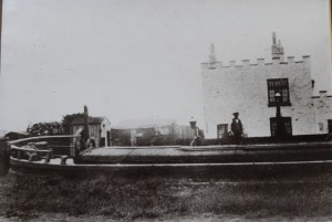
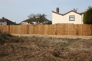
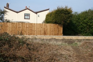
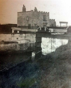
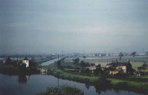
The picture on the left shows the original castellated building which was built for the canal locks around 1821 and is due to have its 200 birthday in 2021. Paddington Lock was operated by the Rathbone family from around 1870 until after the second world war. The second picture was taken after the construction of the flood defences in 2016 by the EA.
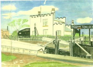
The drawing of Paddington Lock was done by a young Jim Rathbone who lived on
Wilkinson Avenue, we presume he was a member of the Rathbone family who worked the locks.
The small hut to the left was a police guard house used during the war to protect the New Cut Canal.
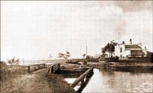
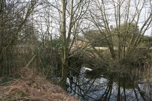
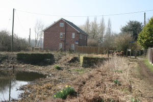
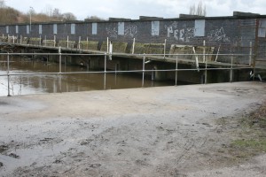
This picture was taken in the 1880’s showing a clear picture of the bye wash at Paddington Lock, which carried the surplus water to the aqueduct which crossed the River Mersey to Latchford. The following picture was taken in 2016 showing the bye wash as it is today..
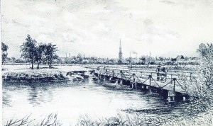
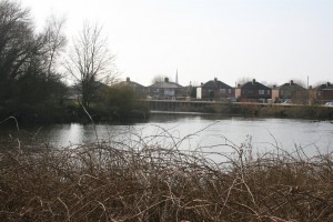
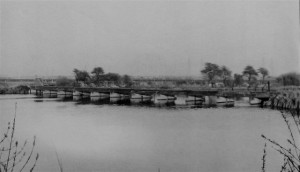
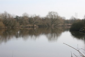
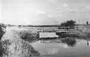
The Aqueduct by Paddington Lock had a wooden trough which carried water down to the Runcorn and Latchford Canal just beyond Kingsway Bridge. Boat horses used the bridge alongside the aqueduct to cross the River Mersey.
The picture on the left shows the aqueduct as it was in the 1950’s. The picture on the right shows the scene as it is today in 2016.
The picture on the left shows the remains of the aqueduct when the water level was dropped in July 2008. The one on the right shows it at normal water level in 2016
Old Dog and Partridge which was attached to the brewery cottages, the gable end of which can be seen to the left of the pub.
These two photos are of the Dog and Partridge on the old Manchester Road. The picture on the left taken in the 1960’s shows The Dog and Partridge with the gable end of the brewery cottages at the side of the road. It is believed the end of the cottages had been tarred over to protect the exposed brickwork. In the distance between the two buildings you can just make out the cottages of Soapery Row which belonged to Paddington Chemical Works (Bone Works).
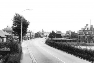
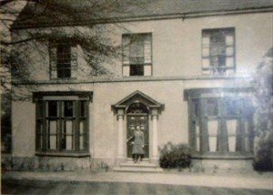
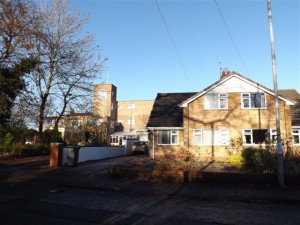
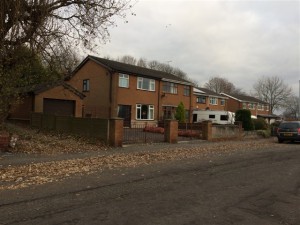
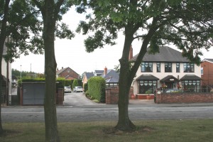
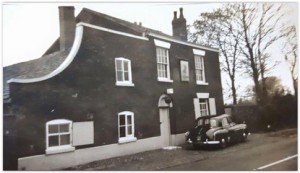
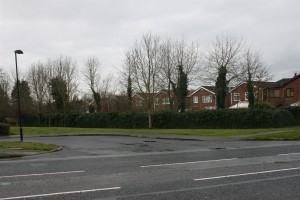
Photo of Paddington House. The pair of bungalows on the right occupy a site where a barn stood in the 1940s, fruit from the orchard of Paddington House was sold from the barn. People came from miles around as the fruit was sold so cheaply.
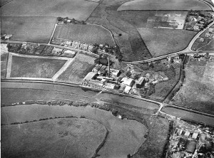
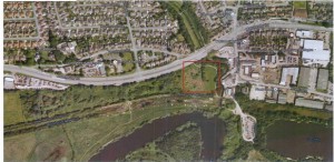
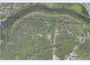
This aerial photo was taken about 1930 showing Paddington Chemical Works which was operated in earlier times as a soap works,.then chemical works and later produced glue. The outline of the works can be seen in the second picture.
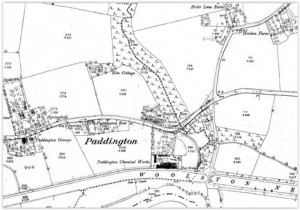
This map of 1891 shows Soapery Row this was a row of terraced houses which were built to house the workers of the Soapery which later became Paddington Chemical Works.
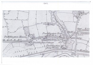
This map of 1845 shows the Toll Bar and Finger Post which were situated at the junction of Holes Lane and Manchester Road. The turnpike roads on which tolls were paid started to be phased out in the 1870s and care of the roads reverted to the local authorities. The Local Government Act of 1888 brought in County Councils who were then made responsible for roads.
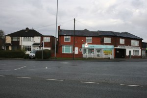
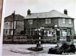
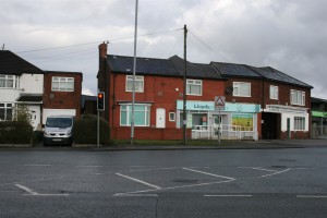
Finger post and post office which was originally on the opposite side of the road where the chemist is now.
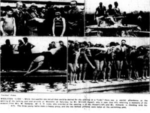
Woolston Lido opened Whit Saturday, May 19 1934. It was heated and was floodlit from under the water. It was 100ft x 42ft and had a restaurant.
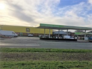
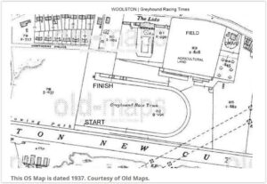
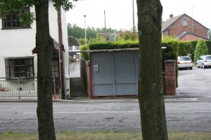
Map showing the Greyhound race track and Woolston Lido, which was a heated outdoor swimming pool. The bus shelter in the opposite picture stands in what was the entrance to the race track. The second picture shows the house belonging to Mr Jones who owned the track and was a either a chemist or herbalist we are not sure. He had a shop in Warrington.
The original Woolston Hall was built in the 13th century where the Woolston family lived until the 15th century. Woolston Hall was situated just off Hillock Lane, near what is now the head of Greenfields Close. It was demolished in approximately 1948.
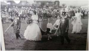
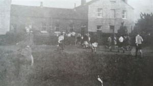
The field was Hayfield Rovers football ground. The occasion was the
Coronation Carnival, 1953. The pair of cottages were occupied by Tom and Nora Platt and their daughter Ruth (single room width on left) and the double width one on the right was occupied by Mrs Snell. Demolished about 1955.
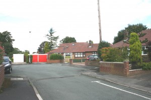
The houses to the left of centre of the photo are Airey Houses. These properties were built just after World War 2 to ease the housing shortage and were designed by Sir Edwin Airey. They were constructed from concrete sections reinforced with metal tubing recycled from the frames of military vehicles. They have since been replaced by retirement bungalows.
The pair of cottages in the photo were at the left hand side of the entrance to Dam Lane. The wooden lean to on the left was known as Nancy Mellor’s shop. The cottages were knocked down in the 1960’s for road improvements to widen Manchester Road and Dam Lane.
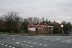
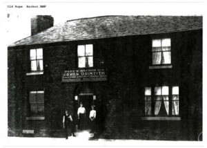
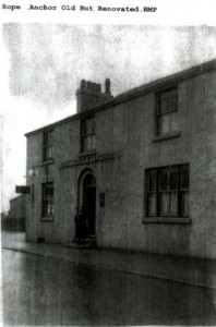
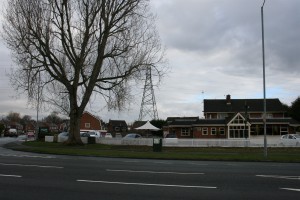
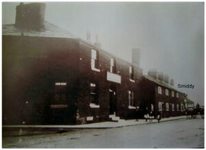
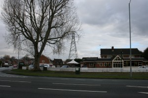
There have probably been several public houses on this site named the Rope and Anchor. The latest one was built in the 1960’s behind the one shown in the photograph on the left, which was demolished at that time for road improvements.
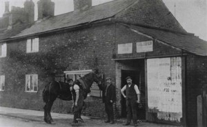
Rope and Anchor on the left the Smiddy on the far end of terrace cottages.
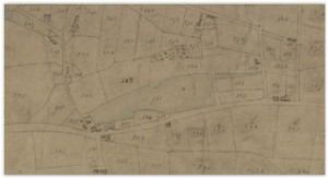
Mill Pond extended from Dam Lane to Gig Lane parallel with Manchester Road. This was culverted under Manchester Road to Mill Cottage to feed the mill wheel. It was originally fed off the moss land drains and culverted from the junction of Longbarn Lane and Gig Lane. There was also another feed which came in from the Gig Lane end from the moss.
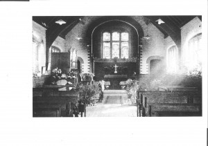
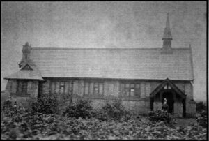
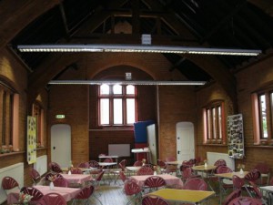
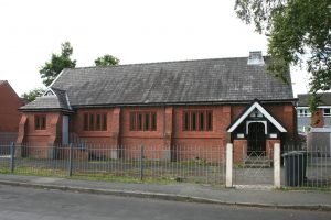
In 1874 William Beamont opened a church of England school at Woolston costing 1100.00, which was licensed as a Mission church to Christ Church. The altar was below a mock stained glass window in an annex separated from the schoolroom by a demountable wooden partition. Six-seater desks had tops that swivelled to form backrests which converted into pews for Sunday services. Sunday school was at 2.30, evening prayer at 3.00. Holy Communion was the fourth Sunday of each month, officiated by Christ Church clergy.
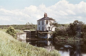
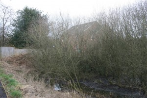
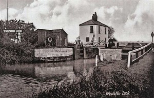
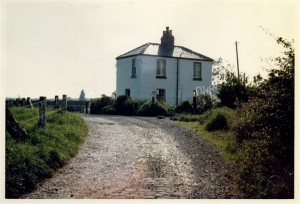
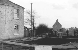
This Lock Cottage picture is from the Harry Arnold collection. The cottage was built in 1821 by the Mersey and Irwell Navigation Company for the lock keeper when the New Cut was first opened. It has now been replaced by a modern detached property.
Lock Cottage picture taken from Woolston Wharf. These photos illustrate the changes that have taken place over the years at Woolston Lock.
The area where the bus is situated was part of the Woolston Wharf, where barges could be loaded and unloaded. The hedges on the left belong to the pair of white cottages on Weir Lane which back onto the River Mersey. (See right)
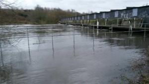
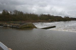
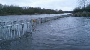
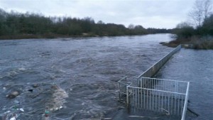
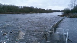
Floods 26 December 2015 at the Guard Weir which was built circa 1940 as extra control of the water flow.
The photo on the left was taken from the swing bridge which gave access across the lock. Lock Cottage on the left. Tommy Wareing’s house in the distance we believe was built at the same time as the Guard Weir circa 1940. Tommy was weir master for many years and he retired to the left hand cottage of the pair of white cottages just a few yards back down the lane. His daughter Sybil at different times in her life lived in both cottages.
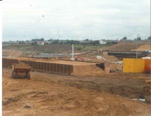
Photo on the left shows the new syphon weir under construction in 1992 and on the right when completed.
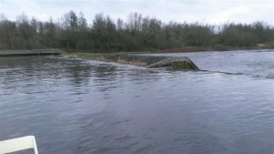
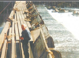
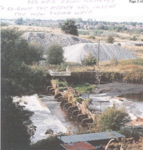
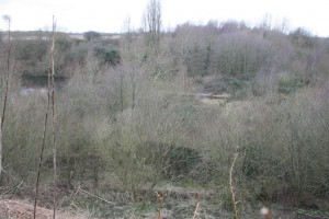
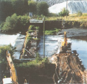
Picture of Woolston old weir 1989. The original weir was built circa 1755 and served two purposes, it maintained the level of water in Woolston Old Cut and provided a head of water to power the Gun Powder Mill on the Thelwall side of the river.
The land was acquired in 1757 by John Stanton, Sir Ellis, Robert Cunliffe and John Craven. Building started in 1758, but the powder mill was destroyed in an explosion in 1855. The river company wouldn’t at first carry gun powder but changed their minds in 1805 and said it would charge 1/- a barrel. The gun powder was taken down to the Mersey estuary to be stored in old ships hulks until required by the Royal Navy.
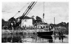
A concrete boat was built by J Law near Woolston weir and launched by Lock Cottage. It was made of a steel and wire frame and a method called ferro-cement. This was from a design from Yachting Magazine. An accident occurred when he fell over Woolston weir and crushed his ankle joint and crushed his foot.The idea was to build a boat which was suitable to sail across the Atlantic in.
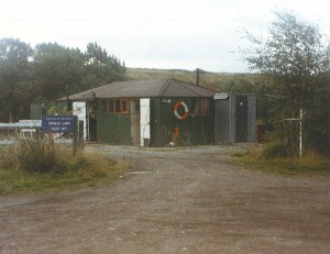
The Weir hut was a valve house and the place of work for the men who operated the weir. There was a hut at each side of the weir and the men used to go back and to by a small boat, until the Guard Weir was constructed.
Laurie Gilfedder who lived in Woolston at Weir Lane as a child was an English rugby league footballer in the 1950’s and 1960’s, playing at representative level for Great Britain and Lancashire, and at club level for Warrington, Wigan and Leigh, Second-row or Loose forward/Lock. The Gilfedder house is the one on the left of the picture.
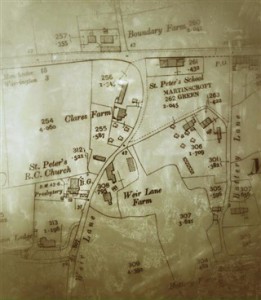
In 1840 St Peters School was built on Martinscroft Green for 120 children. Records show that in 1895 a total of 64 children were attending the school. It was the first purpose built school in the Woolston/Martinscroft district.
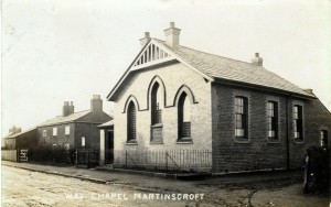
Martinscroft Chapel was established in 1827, it was brick built and had a gallery, it was rebuilt in 1900 by David Ellams after it had fell on hard times. A pipe organ was donated in 1937. In 1973 Warrington New Town relocated the church to Gig Lane, Woolston, it opened in 1975. The old church was demolished in 1977.
This picture of the Horse and Jockey was taken in 1957. In its early years it was a farm as well as a Public House.
In the census of 1841 – 1861 Henry Wright was Publican
1871 -1891 James Massey was Inn Keeper and Farmer
1901 – 1911 Nicholas Massey was Inn Keeper / Farmer (he was the son of James)
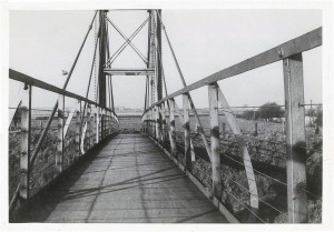
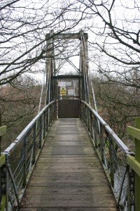
When the ship canal was opened it severed access to Lymm and Statham from Woolston via Statham Lane.
The Suspension Bridge was installed as a public right of way along with the Penny ferry at Thelwall as a replacement for Statham Lane.
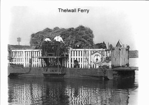
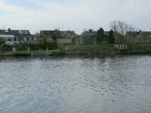
The Manchester Ship Canal opened on 1 January 1894 and part of the agreement was the MSC had to always provide a means of getting people and animals across the canal hence the locally named Penny Ferry at Woolston, officially Thelwall Ferry, was started. It was a public right of way.
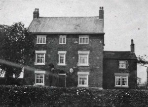
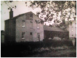
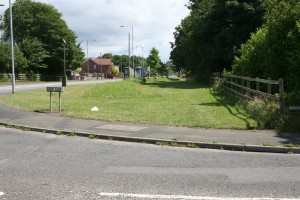
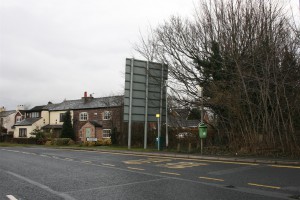
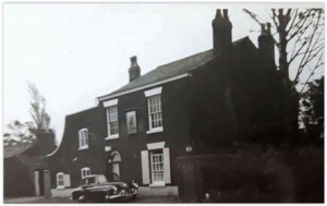
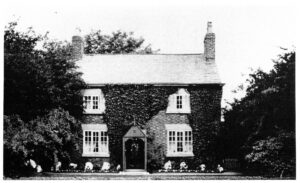
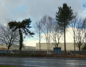
This was a farm on Manchester Road at the corner of Nicol Ave, which is now a path onto the industrial estate and nearly opposite to Weir Lane.
On one map it is named Fir Tree Farm, but in the 1939 reg. it is named Boundary Farm which is what Mike Kenwright knew it as.
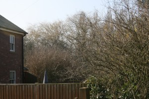
The photo of the farmhouse was taken from in between two fir trees in the front garden, those two trees are still standing.
